
The Planetary Surface Portal have set up a system for viewing the surface footprints of all LNO and UVIS nadir observations, using WFS layers which can be loaded into GIS software.
The WFS nadir layers can be accessed at the following address: https://ows.psup.univ-lyon1.fr/nomad At present the server is down; the layers can be accessed here in the meantime: http://irthomas.eu:8080/geoserver/NOMAD/wfs
More information on added the layer can be found in your GIS software documentation; for example for QGIS the instructions can be found here.
Metadata is included, allowing filtering of individual footprints by commonly used parameters e.g. diffraction order (for LNO), solar incidence angle, Ls, etc. The PSA LID (unique identifier) for each data and browse product and aquisition number are also provided in the metadata, for referencing each footprint to the corresponding publicly available calibrated spectrum of Mars.

Viewing selected footprints for the UVIS WFS layer in QGIS

Viewing many LNO footprints in QGIS (very slow: strongly not recommended; please filter by metadata parameter before plotting)
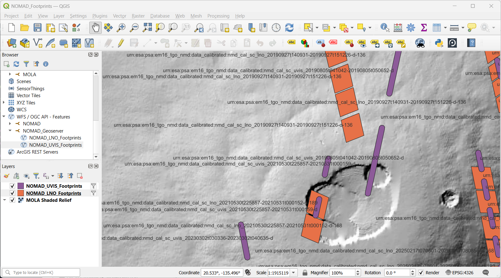
Showing PSA LID unique identifiers for each LNO and UVIS footprint. For the internal team, the HDF5 filenames can also be shown.